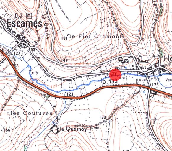
Ancien moulin à farine Louis Boileau, puis Buée, puis scierie Bauchet, puis Monfray, puis Platel,
Plan de situation, extrait de la carte IGN, scan 25, n°F057-016, 2000.Immatriculation
IVR22_20036000445NUCAB
Auteur du document reproduit
-
Institut Géographique NationalInstitut Géographique NationalCliquez pour effectuer une recherche sur cette personne.
Auteur de l'illustration
-
Fournier Bertrand (reproduction)Fournier Bertrand (reproduction)Cliquez pour effectuer une recherche sur cette personne.
Copyright
- (c) Région Hauts-de-France - Inventaire général
Diffusion
reproduction interdite
Type
phototype numérique
Besoin d'informations sur cette illustration ?
Nous contacter
Informations techniques
-
Échelle
- 1/25000e.
Apparaît dans le dossier


